Ethiopia volcano ash plume: Ground impact remains minimal due to high altitude, but airlines face ongoing disruptions.

Ethiopia volcano ash plume reaches India
The eruption of Ethiopia’s Hayli Gubbi volcano on Monday released a massive cloud. This cloud contained ash and sulphur dioxide rising nearly 15 km high. It drifted over the Red Sea toward Yemen and Oman. This movement triggered immediate flight warnings in India. By 11 pm Monday, the ash reached Delhi. It is moving toward Punjab and Haryana on Tuesday. Consequently, IndiGo and Air India issued advisories for many flights. But how did this ash travel so far? Let’s explain.
How did the ash travel so fast?
The Ethiopia volcano ash plume exploded with immense power. The ash shot up 10–15 km to where the atmosphere meets the stratosphere. Hot gases likely helped the plume rise very quickly. This height is above most weather systems. Therefore, the ash traveled far without disturbance.
Strong winds pushed the cloud across the Red Sea. It moved toward Yemen and Oman. Satellite images showed the plume stretching for hundreds of kilometres. Winds at that height were smooth. This kept the cloud mostly intact.
The plume moved east-northeast. It entered India through western Gujarat and Rajasthan. It passed over Jodhpur and Jaisalmer. By afternoon, the cloud edge touched parts of Maharashtra. This path matches the subtropical jet stream. This stream guides airflow toward South Asia in winter.
By 10 pm IST, the main cloud hit Delhi-NCR and Punjab. It also covered Haryana and Uttar Pradesh. This created hazy skies briefly. High-altitude winds were strong. This prevented the cloud from slowing down.
Overnight transit, composition and speed
IndiaMetSky Weather reported the cloud speed at 100–120 km/h on November 24. It floated at 15,000 to 25,000 feet. The plume held volcanic ash and sulphur dioxide. It also carried tiny glass and rock particles. The service predicted it would rise to 45,000 feet.
The eruption has stopped now. However, existing ash continued moving north. It stretched from Hayli Gubbi to Gujarat. The service predicted the cloud would enter western India. It was forecast to reach northern states by 10 pm. This prediction proved accurate.
What is the projected path?
The ash plume has spread from the Arabian Sea to India’s plains. It is now moving slowly toward the Himalayan foothills. It will affect northwest Uttar Pradesh and Uttarakhand. Parts of the western Himalayas will see it by early November 25. It may also skim Nepal’s Terai region.
Aviation warnings remain likely. The sky may look hazy like a dust storm. The ash should thin out in one or two days. It will move toward eastern India and Bihar. Finally, it heads to the Bay of Bengal.
Current and foreseen impact
The plume drifts northeast at 100–130 km/h. The core is over Delhi-NCR and Haryana. It extends to Rajasthan and the Arabian Sea.
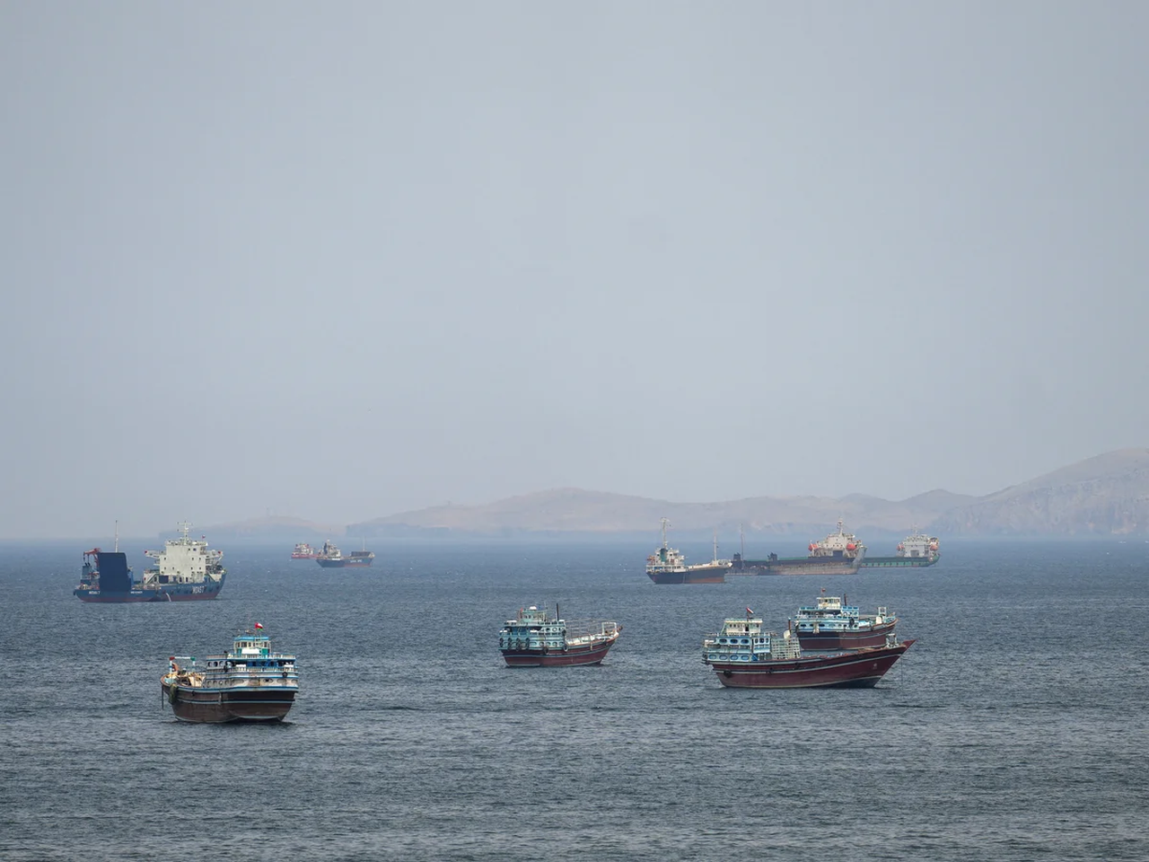
Major impact is minimal at ground level because of the height. However, aviation disruptions are ongoing. Flights face delays and diversions. The Ethiopia volcano ash plume impacts visibility and engines. DGCA advised airlines to avoid these heights. Airports are checking runways for ash. Airlines like Air India are monitoring the situation. No major issues are reported yet. Mumbai airport issued a notice for international routes.
Sky and Visibility Changes: Skies may appear hazy and darker. Reports suggest strong twilight colours at sunrise. Widespread dark skies have not appeared yet.
Air Quality: IndiaMetSky Weather says surface air quality is unchanged. The ash is too high to affect us.
Ashfall or Deposits: Light ash is unlikely on the ground. Small particles may fall in Rajasthan. Sulphur dioxide might rise slightly near the Himalayas.
No major impact on weather or climate expected shortly. No crop damage is reported.